
How to Offer Surveying and Land Measurement Services in Colombia
A guide for licensed surveyors: what to include in your listing, how to build a quote per deliverable, and how clients verify your professional license (matrícula).
IDIOMA DEL ARTÍCULO
Showing original language
Quick answer: You can only advertise yourself as a surveyor if you hold a CPNT license, and your quote should not depend on a national per-hectare rate, because there isn't one. It is built per deliverable: field work, travel, and a signed plan.
Someone who buys or subdivides a property doesn't ask first how much it costs. They ask whether the plan will serve for the urban planning office (curaduría) or the cadastre, and whether the person signing it is trustworthy. Keep that in mind: if your ad doesn't answer those two questions, you'll only get window shoppers.
Who can advertise and what goes in the ad
Without a CPNT license you cannot practice surveying or use the title or abbreviations on plates, letterhead, business cards, ads, notices, or publications. Violations are penalized under the rules on illegal practice of a profession (Law 70 of 1979, art. 10; Decree 690 of 1981, art. 10). Professional technicians, technologists, and professionals who practice surveying must hold a CPNT license. I wouldn't risk publishing anything "while the application is in process."
In documents for the practice, the surveyor identifies themselves with the license number (Decree 690 of 1981, art. 8). Put it on the ad, on the quote, and on every plan.
For the procedure, the CPNT charges $700,000 for a new issuance for the 2026 period, and a 2026 duplicate costs $180,000. The certificate of validity has no cost since January 1, 2020, and with a new issuance it is included in virtual form. If you are a member of a professional association, confirm your rate with the CPNT; the cost of the format change is also checked at cpnt.gov.co. These are your costs as a professional, not the price of the survey. The CPNT is at Calle 42 # 8A-69 Oficina 601, Bogotá D.C., Monday through Friday, 8:00 a.m. to 5:00 p.m.
Appearing in RUTOPO does not prove the license is valid. The certificate of validity is issued by the CPNT. So my advice: upload the certificate to your ad, not just a photo of the ID card.
What services you can quote
Agrimensura, under the regulations of Law 70, covers the survey and the altimetric and planimetric location of urban or rural land, the drawing of plans, and the calculation of areas (Decree 690 of 1981, art. 1.a). From this you can list the services you offer:
- Planimetric and altimetric survey.
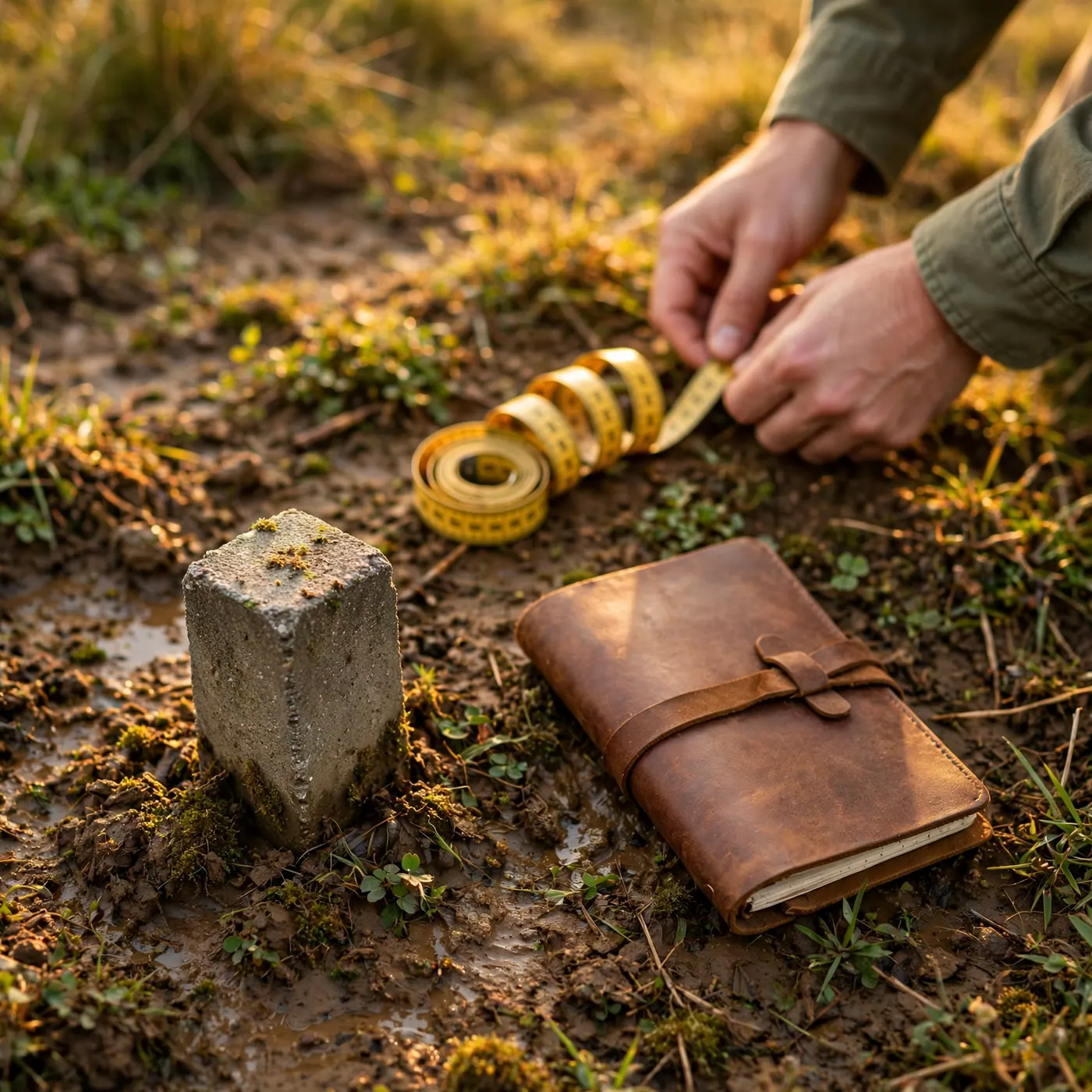
- Boundary demarcation and marking of corners.
- Plan for subdivision or re-lotting.
- Technical description of boundaries.
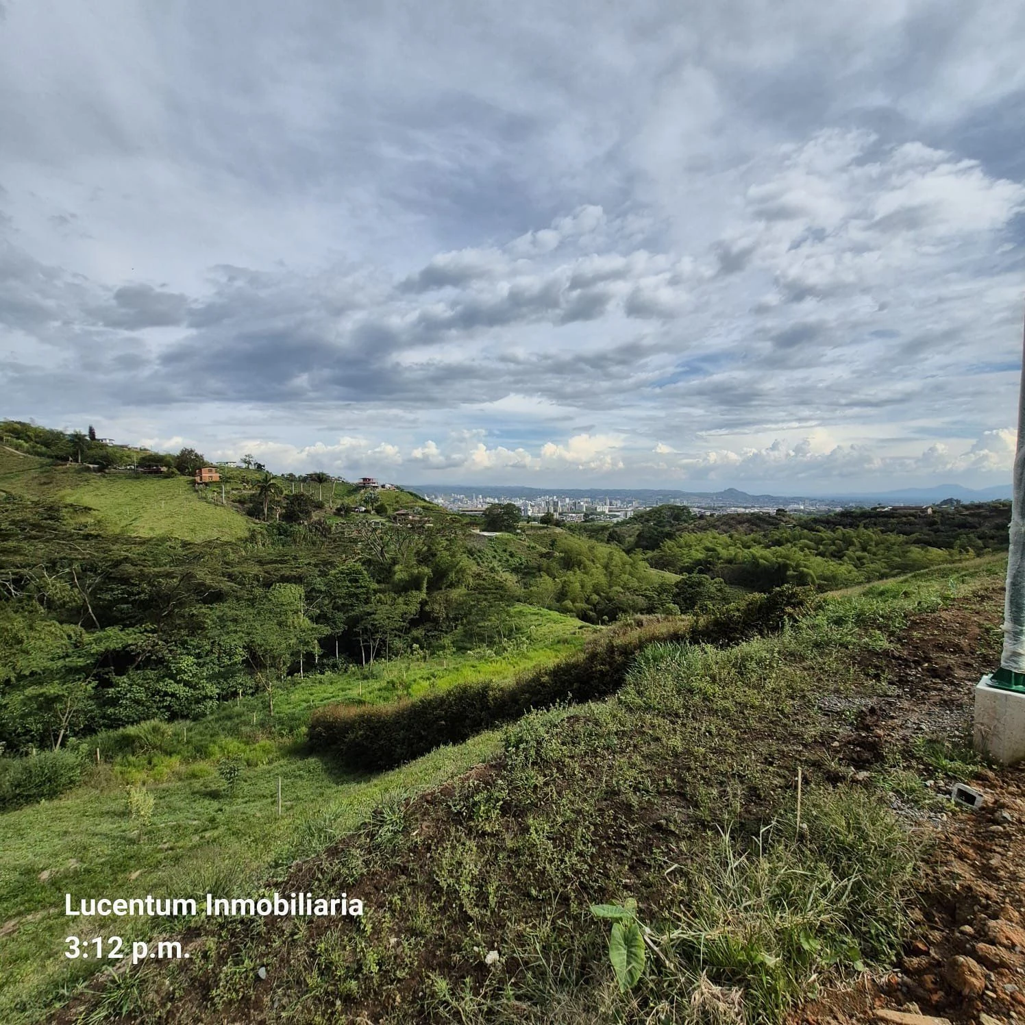
The typical client is someone who buys or subdivides a rural property; if your area includes farms, check how ads look in the farm category.
For rural or urban subdivision, the topographic survey plan is signed by a registered topographic engineer or a licensed professional surveyor under Law 70 of 1979, and shows the property before and after, with corners marked and boundaries set, along with a table of areas (Resolution 1025 of 2021, art. 4). For re-lotting, an architect with a registration number may also sign. A local example: the Curaduría Urbana No. 1 of Bogotá, at Autopista Norte No. 95-31, publishes the same requirement. Note: the plan is a document for the procedure, and it does not guarantee that the curaduría will grant the license.
Your client who owns the lot also needs the full procedure; for that, refer them to splitting a rural property and to the requirements for a subdivision license. You stick to the plan and the signature.
Coordinates: the detail your work delivers
The official planar coordinate system is MAGNA-SIRGAS / Origen Nacional, code EPSG:9377, with the parameters of IGAC Resolution 370 of 2021 (in force since July 1, 2021). Coordinate surveys for official purposes must be converted to that origin. Delivering a plan only in a local origin, or in the old Bogotá datum, is the surest way to have it rejected.
If the client needs a technical description of boundaries, it identifies each boundary point with planar coordinates in the official system, to the nearest decimeter, the neighboring owner, and the property registration folio when one exists (Joint Resolution IGAC 1101 and SNR 11344 of 2020). If you want to explain to the client what that registration is, send them this guide: how to read the property registration (matrícula inmobiliaria). And before the field visit, ask them to gather paperwork; the cadastral certificate helps.
How to build a quote that filters out window shoppers
There is no official rate schedule for private services. Some companies publish their own per-hectare ranges for drone work, and they vary widely depending on the product, so don't treat them as a national reference. What does work is quoting per deliverable, not per loose day. You set the "starting from" price yourself.
A clear quote separates the line items:
- Field work (approximate area declared by the client, access, vegetation, whether corner markers already exist).
- Travel outside your coverage area.
- Processing.
- Signed digital plan (DWG or PDF) with your license number.
- Technical description of boundaries, if applicable.
- Corner marking, if you charge for it separately.
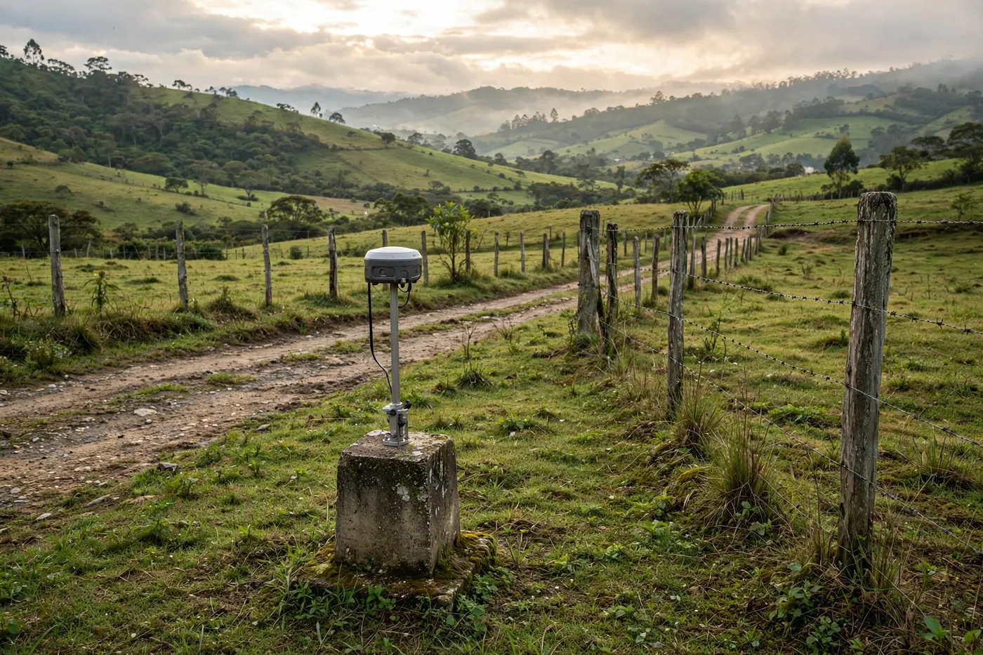
And write down what is left out: clearing brush, neighbors in dispute, extra visits. Honestly, that list of exclusions is what saves you the most arguments and messages from people who only want to "know how much it costs". Mention the equipment (GNSS or total station) without committing to brands, and upload real field photos: a numbered corner marker is worth more than a stock photo.
One real drawback: quoting this way takes more time per client, because you have to ask questions before you answer. Even so, it filters better.
Field schedule around November 2, 2026
The paid holiday of November 1 is moved to the following Monday when that day doesn't fall on a Monday, even if it falls on a Sunday (Law 51 of 1983). For this October 2026 note, that Monday is November 2, 2026. Before scheduling a field trip, confirm access to the property and whether your crew works that Monday.
Ad checklist
- CPNT license number and certificate of validity.
- Coverage area and which travel you quote separately.
- Services: planimetric, altimetric, boundary demarcation, corner marking, boundary description.
- Deliverable: plan signed in MAGNA-SIRGAS / Origen Nacional.
- What is not included.
- Real field photos, without plans containing client data.
If your client is buying a farm, remind them that the plan isn't everything: it's also worth checking the wastewater discharge permit for the septic tank.
Frequently asked questions
❓ Can I offer surveying if I don't yet have a CPNT license?
You must not advertise or sign plans as a surveyor without that license. Professional technicians, technologists, and professionals apply for it at the CPNT, and Article 10 of Law 70 covers plates, cards, and ads. First the license, then the ad (verify with the official source).
❓ How much is charged per hectare in Colombia?
There is no official national per-hectare rate for private services. The quote separates field work, travel, and the signed plan, and the starting price is set by whoever publishes it, according to access, vegetation, and the deliverables included (verify with the official source).
❓ How much does it cost to get a license from the CPNT in 2026?
A new issuance for the 2026 period costs $700,000. The certificate of validity has no cost, and a 2026 duplicate costs $180,000. If you are a member of a professional association, confirm your rate directly with the CPNT (verify with the official source).
❓ Does the plan work for a subdivision license?
Rural or urban subdivision requires a plan signed by a registered topographic engineer or a surveyor licensed under Law 70, showing the property before and after, corner markers, and a table of areas. That does not oblige the curaduría to approve the license (verify with the official source).
❓ What coordinates should the plan use?
For official purposes, MAGNA-SIRGAS / Origen Nacional, EPSG:9377. If your survey was only done in a local origin, it must be converted before you deliver it for any official procedure (verify with the official source).
❓ How can the client check that the license is valid and avoid scams?
Appearing in RUTOPO is not enough. The client should ask for the license number and the certificate of validity issued by the CPNT, free of charge since 2020, and not treat an ad without a license number as a licensed surveyor (verify with the official source).
❓ Where do I publish my surveying service to get clients?
You can do it in the services section of Colombia Move, indicating coverage area, deliverables, and field photos. An ad that defines the area and what is not included attracts fewer window shoppers and more clients with a specific property.
Comments
Loading comments...
Checking sign-in status...