
New on Colombia Move: real walking times, nearby pharmacies, and your neighborhood map
Walking minutes along real streets, pharmacies, ATMs, cafés, and veterinary clinics nearby, plus your neighborhood drawn on the map of every housing listing.
IDIOMA DEL ARTÍCULO
Showing original language
When you look for a place to live in Colombia, the price and the photos are only half of the decision. The other half is the neighborhood: Is there a pharmacy nearby? How far is it to the TransMilenio or the metro? Is the apartment really in the neighborhood the listing says? Starting today, Colombia Move answers those questions directly on every property listing. If you're comparing neighborhoods, combine this feature with our guides to neighborhoods in Bogotá with direct rentals from owners and direct rentals in Medellín by neighborhood.
What's new
1. Walking times along real streets
In the "Explore the area" section of property listings, the walking minutes to supermarkets, parks, transit stations, and other nearby places are now calculated following the streets, not in a straight line. Before, a park "5 minutes away" could be on the other side of a highway with no pedestrian bridge; now the time reflects the route you would actually take.
Times are calculated using data from OpenStreetMap on our own server. If at any point we can't calculate a route, you'll see the straight-line estimate as before, and the map will tell you when times are still based on real streets.
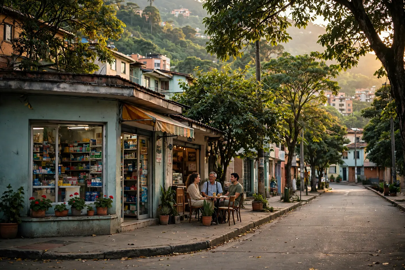
2. More nearby places: pharmacies, ATMs, cafés and vet clinics
To the supermarkets, parks, health centers, gyms, schools, and coworking spaces we already showed, we've added four types of places people ask about all the time:
- Pharmacies: more than 3,000 across the country, including chains such as La Rebaja, Cruz Verde, Pasteur, and Farmatodo.
- ATMs and banks: about 2,900, with Bancolombia, Davivienda, BBVA, Banco de Bogotá, and Servibanca, among others.
- Cafés: around 2,500, for those who work remotely or simply need their tinto.
- Vet clinics: almost 700, because moving with a pet counts too.
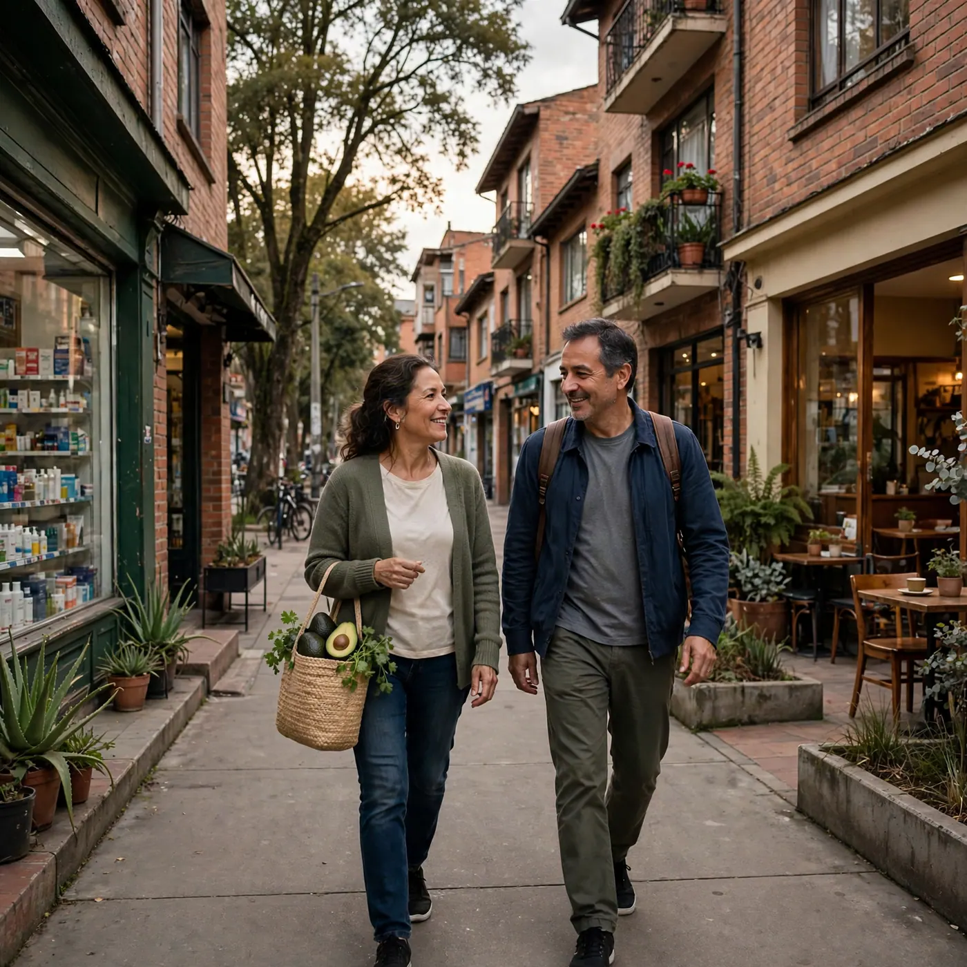
You'll see them in the "What's nearby" list on each property listing and on the neighborhood pages, such as El Poblado, Chapinero o Getsemaní. We cover all 127 cities and municipalities in Colombia Move. If you don't yet know neighborhood search, here we explain how to search by neighborhood on the map.
3. The neighborhood drawn on the map
When OpenStreetMap has the official boundary of a neighborhood, the listing map now draws the neighborhood's actual outline instead of a generic circle. This way you can see at a glance where the area begins and ends. For now we have it for 56 neighborhoods, communes, and UPZ in 22 cities, including Chapinero, Usaquén, and Teusaquillo in Bogotá; El Poblado, Belén, and La América in Medellín; Granada and San Antonio in Cali; and Getsemaní, Bocagrande, and Manga in Cartagena. We'll keep adding more as OpenStreetMap incorporates them.
For posters: the neighborhood fills in on its own
If you publish a listing and mark your area on the map, we now fill in the neighborhood automatically when the point falls within one of the neighborhoods we recognize. You can always change it. A correctly placed neighborhood makes your listing appear on that area's pages and searches. Before publishing, review the checklist for publishing your property.
Your privacy stays the same
None of this reveals an exact address. The point the seller marks is rounded before it is saved, the map shows an approximate area, and walking times are calculated from that approximate point. We also don't store your location when you use "How far is it?" to see the distance from where you are.
How to see it
- Go to Search and open an apartment, house, or room listing.
- Scroll down to "Explore the area": you'll see the map, the neighborhood (if we have it drawn), nearby stations, and the "What's nearby" list with walking minutes.
- For a view of the whole neighborhood, open its page, for example Chapinero.
Open data, kept up to date
Everything comes from OpenStreetMap, the open map built and corrected by a global community, including in Colombia. We update places, neighborhoods, and walking routes every quarter. If you see a pharmacy that has closed or a neighborhood placed incorrectly, let us know through the comments link on the site and we'll correct it.
Maps and place data © OpenStreetMap contributors.
Frequently asked questions
❓ How much does it cost to see walking times and nearby places?
Nothing. The Explore the area section is free for anyone who opens a property listing, without creating an account. The person posting doesn't pay extra either: the neighborhood and nearby places are added to the listing automatically.
❓ Is it safe? Does the map show the property's exact address?
It does not show the exact address. The point marked by the poster is rounded before it is saved, so the map shows an approximate area and walking minutes are calculated from that point, not from the property's door.
❓ Where do I find the Explore the area section?
On each apartment, house, or room listing, further down the page. There you'll find the map, the neighborhood drawn when we have it, nearby stations, and the What's nearby list with walking minutes.
❓ Why did the walking time change from what I saw before?
Because it now follows the streets instead of measuring in a straight line. If there is a highway without a pedestrian bridge or a creek along the way, the real route is longer and the time reflects that. If we can't calculate the route, we show the straight-line estimate.
❓ Why isn't my neighborhood drawn on the map?
We only draw the outline when OpenStreetMap has the official boundary of the neighborhood, commune, or UPZ. Today there are 56 areas in 22 cities; where there is no boundary, the map shows an approximate circle. We'll keep adding neighborhoods as OpenStreetMap incorporates them.
❓ How do I report a closed pharmacy or a misplaced place?
Write to us through the comments link on the site with the name of the place and the listing where you saw it. The data comes from OpenStreetMap and we update it every quarter, so your correction also helps those who use the open map later.
Comments
Loading comments...
Checking sign-in status...