
How to contribute to OpenStreetMap in Colombia without damaging the map
A practical guide to improve OpenStreetMap from Colombia: start with a precise note, edit only what you can verify and ask for help when needed.
IDIOMA DEL ARTÍCULO
Showing original language
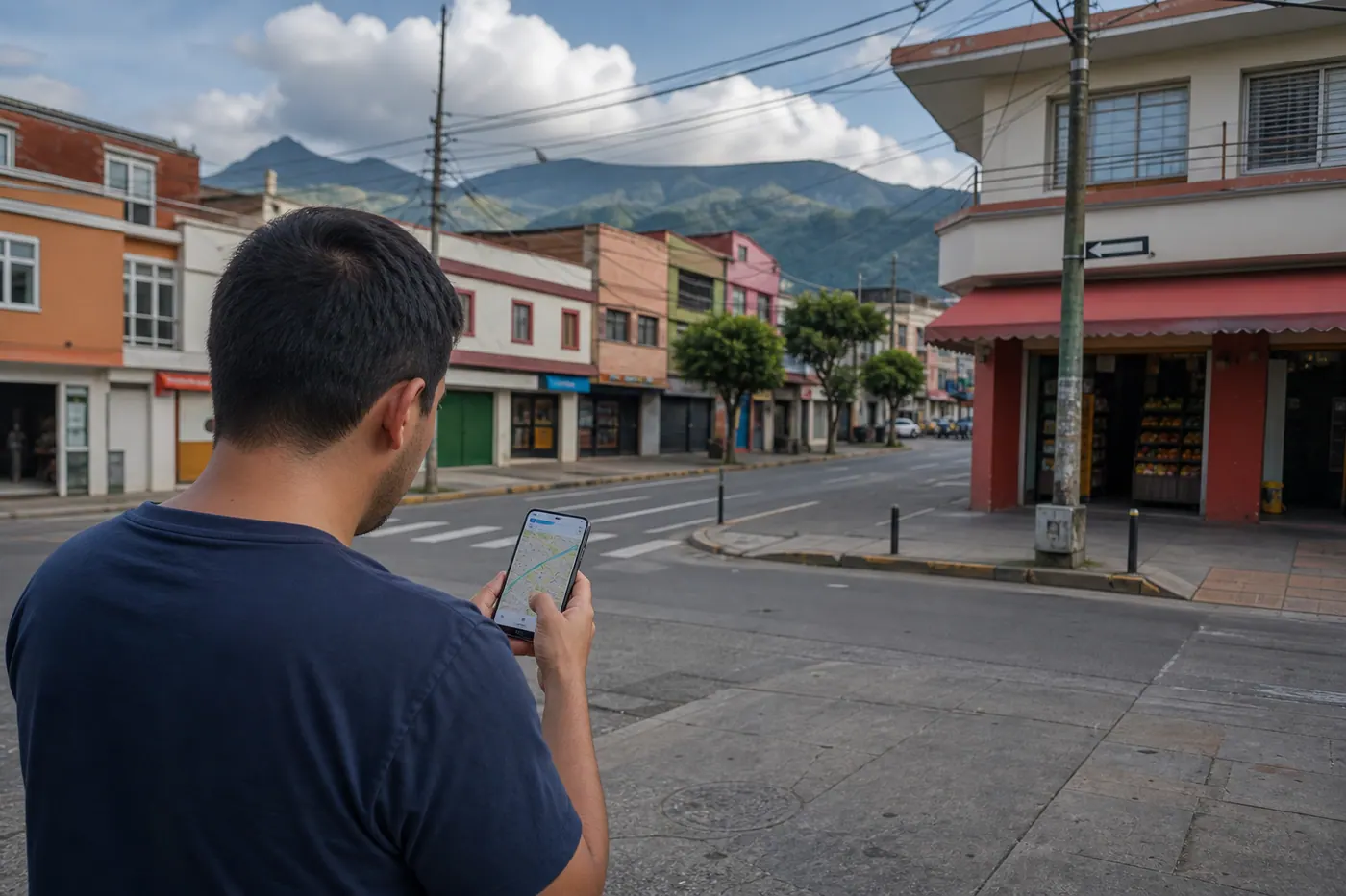
There's an unnamed street, a closed business, a missing path, or a poorly located park. You can help correct it, but the best contribution isn't the biggest one: it's the one another person can verify on the ground.
OpenStreetMap is a map and free geographic database built by people who contribute local knowledge. Colombia Move uses it as part of its maps, place searches, and location context. That's why it's worth explaining how to give something useful back to that shared resource.
The idea isn't to edit to favor Colombia Move or turn OSM into another advertising directory. It's to improve public data that can serve neighbors, visitors, navigation apps, community projects, and many other users.
Start with the easiest part: report a precise problem
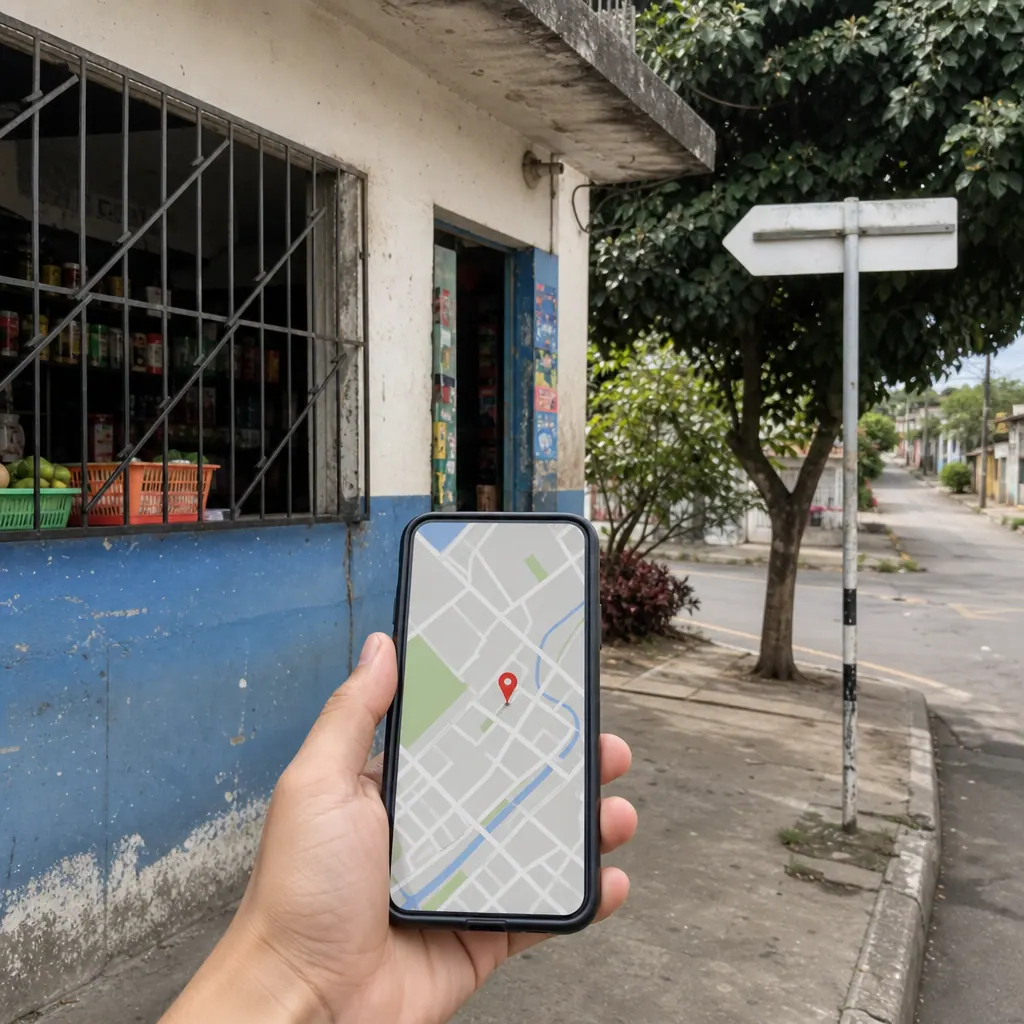
If you see an error but don't know how to edit yet, use OpenStreetMap Notes. On the map, place the note exactly where the problem occurs and describe what you observed. For example: "This store closed and the space is empty" or "The street continues one more block toward the south".
A note isn't a review, a general complaint, or a personal reminder. It should point out a concrete geographic problem and offer enough context so someone with experience can verify and correct it. Logging in helps because you'll receive responses when someone asks for details or resolves the note.
How to make your first small edit
When you know the place well and the change is straightforward, you can edit directly from openstreetmap.org. Create an account, search for the area, and click "Edit"; the iD web editor includes a guided introduction.
- Choose a single verifiable piece of data. Start with something you saw: the name shown on a sign, an entrance, a pedestrian crossing, or a business that no longer exists.
- Check before adding. The object may exist under another name or as part of a building. Avoid duplicating it.
- Change only what's necessary. Correcting an attribute is usually better than deleting and redrawing everything.
- Explain the change. In the changeset comment write something specific, like "name corrected according to sign visible at the location".
- Ask for review if you're unsure. An early question prevents an assumption from becoming a problem for other users.
The OSM good practices summarize the central principle: map what exists and can be verified, respecting the previous work of other people.
What information can actually be a good first contribution
It's best to choose stable and visible elements. You don't need to map an entire avenue or learn advanced tags on day one.
- Names of streets, parks, or public buildings that appear clearly on local signage.
- Crossings, paths, ramps, entrances, and accesses that a person can observe from an allowed space.
- Physical businesses open to the public with visible name and activity; you can also indicate that one closed when you verified it.
- Public-use services like bathrooms, bike parking, health centers, or sports facilities, as long as their existence is verifiable.
- Obvious position errors or duplicates when you understand the object and can preserve its history instead of deleting it without context.
Five things you shouldn't do
- Don't copy Google Maps or another commercial map. Even if data seems public, its cartographic base may have restrictions and shouldn't be transferred to OSM.
- Don't turn OSM into advertising. A verifiable physical business can exist on the map; a promotion, a product for sale, or a temporary ad isn't geographic information.
- Don't add personal data. Don't include names of residents, private phone numbers, possessions, or details about who lives in a house.
- Don't guess. If you don't know whether something changed, leave a note or consult the community before editing.
- Don't organize mass edits on your own. Imports, targeted campaigns, and group tasks need transparency and coordination with the community.
Check the OSM guidance on private information and the rules for organized editing before working with sensitive information or coordinating other people.
Where to learn and ask for help in Colombia
You don't have to learn alone. The OSM Colombia community guide organizes options from beginner to advanced contributor and includes tools, projects, and local rules. For a specific question you can use the OSM Colombia forum or the OSM Colombia Telegram.
These communities are especially valuable when you encounter administrative boundaries, routes, complex infrastructure, conflicting data, or a possible import. Bring a clear description, links to the object or note, and explain what you could observe.
How this relates to Colombia Move
In our guide on search by radius and approximate location we explained why we use OSM without requiring the exact address of a home. The public map data and approximate location of a listing serve different purposes: contributing to OSM doesn't mean revealing where someone lives.
We also use maps on Colombia Move local pages and search. A well-made correction can end up benefiting many services that consume OSM. However, each service uses its own maps, caches, and extractions, so a change doesn't necessarily appear immediately on Colombia Move or in all applications.
A good goal: one problem, one contribution
Open the map of a place you know and look for a single real problem. If you can demonstrate the correction and the editor is clear to you, make a small change. If not, leave a precise note. That modest contribution is better than filling the map with questionable data.
OpenStreetMap works because many people observe, document, and correct carefully. Colombia has local knowledge that no company can gather on its own. Sharing part of that knowledge, with respect for the community and privacy, helps make the map more useful for everyone.
Frequently asked questions
Do I need technical knowledge to contribute?
No. You can start by creating a precise note about an error you observed. When you want to edit, the iD web editor offers a guided introduction and the Colombian community maintains resources to advance gradually without learning professional tools.
What do I do if I have doubts about a correction?
Leave a note or question to the community before changing the object. Include the location, explain what you saw, and avoid stating what you couldn't verify. Someone else can ask for details, check the history, and make the appropriate edit.
Can I add my physical business to OpenStreetMap?
Yes, when it's a real, stable place, open to the public, and verifiable on the ground. Add objective information about the establishment, not promotions, inventory, offers, or text designed for positioning. Check first that the business doesn't already exist on the map.
Can I copy an address or business from Google Maps?
No. OSM best practices indicate that you should not transfer information from other commercial maps. Use local observation, signage, permitted sources within the editor, or information with compatible licensing; if the source is unclear, consult before adding it.
Will my edit appear immediately in Colombia Move?
Not necessarily. OSM receives the changes, but each application decides when to update its representation, geocoder, cache, or data extraction. Contribute to improve the shared resource; do not edit solely to achieve an immediate visual result on a platform.
Where can I ask for help with mapping in Colombia?
Start with the OSM Colombia guide and then ask your question in their forum or Telegram channel. Share the link to the place, note, or object, describe your evidence, and ask before making a complex edit or deleting existing work.
Comments
Loading comments...
Checking sign-in status...